Learn about Canada’s five regions, the National Capital, provinces and territories, major geographic features, and where Canadians live.
What's inside
Key points
Key Points to Remember
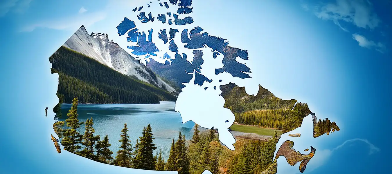
Canada is the second largest country on earth—10 million square kilometres.
Three oceans line Canada’s frontiers: the Pacific Ocean in the west, the Atlantic Ocean in the east, and the Arctic Ocean to the north.
Along the southern edge of Canada lies the Canada-United States boundary.
Both Canada and the U.S.A. are committed to a safe, secure and efficient frontier.
Canada includes many different geographical areas and five distinct regions: The Atlantic Provinces, Central Canada, The Prairie Provinces, The West Coast, and The Northern Territories.
Canada has ten provinces and three territories.
Each province and territory has its own capital city.
You should know the capital of your province or territory as well as that of Canada.
Ottawa, located on the Ottawa River, was chosen as the capital in 1857 by Queen Victoria.
Today it is Canada’s fourth largest metropolitan area.
The National Capital Region, 4,700 square kilometres surrounding Ottawa, preserves and enhances the area’s built heritage and natural environment.
Canada has a population of about 34 million people.
While the majority live in cities, Canadians also live in small towns, rural areas and everywhere in between.
Slide-Based Overview
/ 11
keys
A Giant Country Shaped by Three Oceans
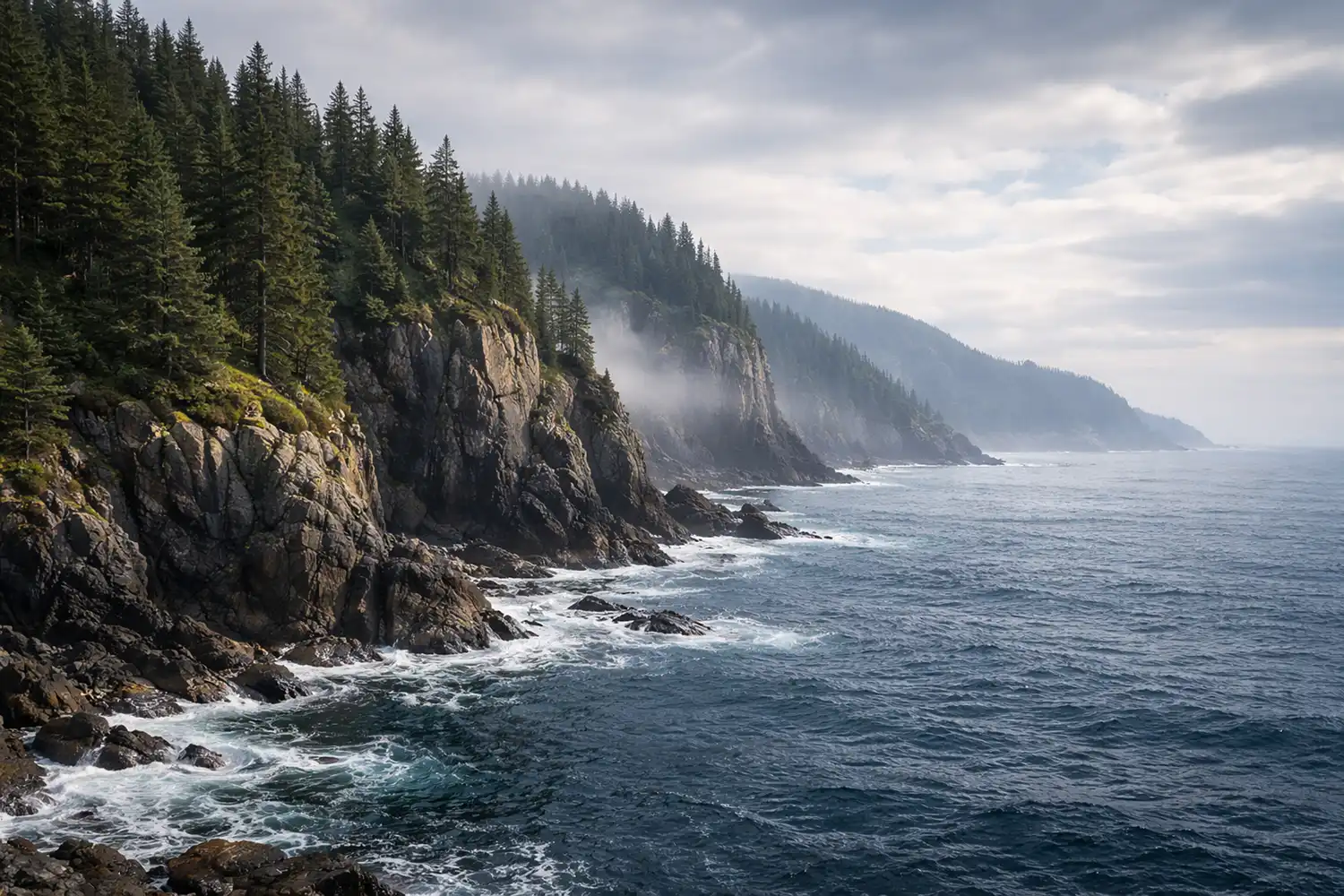
Evergreen cliffs standing watch over the Pacific
Fast Facts
Canada is the second largest country on earth—10 million square kilometres.
Three oceans line Canada’s frontiers: the Pacific Ocean in the west, the Atlantic Ocean in the east, and the Arctic Ocean to the north.
The Southern Border
Along the southern edge of Canada lies the Canada–United States boundary.
Both Canada and the U.S.A. are committed to a safe, secure and efficient frontier.
Slide 1 of 11
Canada is the second largest country on earth—10 million square kilometres.
Three oceans line Canada’s frontiers: the Pacific Ocean in the west, the Atlantic Ocean in the east, and the Arctic Ocean to the north.
Along the southern edge of Canada lies the Canada-United States boundary.
Both Canada and the U.S.A. are committed to a safe, secure and efficient frontier.
Canada includes many different geographical areas and five distinct regions.
The five regions are: The Atlantic Provinces, Central Canada, The Prairie Provinces, The West Coast, and The Northern Territories.
Provinces and Territories
Canada has ten provinces and three territories.
Each province and territory has its own capital city.
You should know the capital of your province or territory as well as that of Canada.
Capitals by Region
Atlantic Region: Newfoundland and Labrador—St. John’s; Prince Edward Island—Charlottetown; Nova Scotia—Halifax; New Brunswick—Fredericton.
Central Canada: Quebec—Québec City; Ontario—Toronto.
Prairie Provinces: Manitoba—Winnipeg; Saskatchewan—Regina; Alberta—Edmonton.
West Coast: British Columbia—Victoria.
North: Nunavut—Iqaluit; Northwest Territories—Yellowknife; Yukon Territory—Whitehorse.
Population
Canada has a population of about 34 million people.
While the majority live in cities, Canadians also live in small towns, rural areas and everywhere in between.
Ottawa, located on the Ottawa River, was chosen as the capital in 1857 by Queen Victoria.
Today it is Canada’s fourth largest metropolitan area.
The National Capital Region is 4,700 square kilometres surrounding Ottawa.
It preserves and enhances the area’s built heritage and natural environment.
Atlantic Canada’s coasts and natural resources, including fishing, farming, forestry and mining, have made these provinces an important part of Canada’s history and development.
The Atlantic Ocean brings cool winters and cool humid summers.
Newfoundland and Labrador
Newfoundland and Labrador is the most easterly point in North America and has its own time zone.
In addition to its natural beauty, the province has a unique heritage linked to the sea.
The province has long been known for its fisheries, coastal fishing villages and distinct culture.
Today off-shore oil and gas extraction contributes a substantial part of the economy.
Labrador also has immense hydro-electric resources.
Prince Edward Island (P.E.I.)
Prince Edward Island (P.E.I.) is the smallest province, known for its beaches, red soil and agriculture, especially potatoes.
P.E.I. is the birthplace of Confederation, connected to mainland Canada by one of the longest continuous multispan bridges in the world, the Confederation Bridge.
Anne of Green Gables, set in P.E.I. by Lucy Maud Montgomery, is a much-loved story about the adventures of a little red-headed orphan girl.
Nova Scotia
Nova Scotia is the most populous Atlantic Province, with a rich history as the gateway to Canada.
Known for the world’s highest tides in the Bay of Fundy, the province’s identity is linked to shipbuilding, fisheries and shipping.
As Canada’s largest east coast port, deep-water and ice-free, the capital, Halifax, has played an important role in Atlantic trade and defence and is home to Canada’s largest naval base.
Nova Scotia has a long history of coal mining, forestry and agriculture.
Today there is also off-shore oil and gas exploration.
The province’s Celtic and Gaelic traditions sustain a vibrant culture.
Nova Scotia is home to over 700 annual festivals, including the spectacular military tattoo in Halifax.
New Brunswick
Situated in the Appalachian Range, the province was founded by the United Empire Loyalists and has the second largest river system on North America’s Atlantic coastline, the St. John River system.
Forestry, agriculture, fisheries, mining, food processing and tourism are the principal industries.
Saint John is the largest city, port and manufacturing centre; Moncton is the principal Francophone Acadian centre; and Fredericton, the historic capital.
New Brunswick is the only officially bilingual province, and about one-third of the population lives and works in French.
More than half the people in Canada live in cities and towns near the Great Lakes and the St. Lawrence River in southern Quebec and Ontario, known as Central Canada and the industrial and manufacturing heartland.
Southern Ontario and Quebec have cold winters and warm humid summers.
Together, Ontario and Quebec produce more than three-quarters of all Canadian manufactured goods.
Quebec
Nearly eight million people live in Quebec, the vast majority along or near the St. Lawrence River.
More than three-quarters speak French as their first language.
The resources of the Canadian Shield have helped Quebec to develop important industries, including forestry, energy and mining.
Quebec is Canada’s main producer of pulp and paper.
The province’s huge supply of fresh water has made it Canada’s largest producer of hydro-electricity.
Quebecers are leaders in cutting-edge industries such as pharmaceuticals and aeronautics.
Montreal, Canada’s second largest city and the second largest mainly French-speaking city in the world after Paris, is famous for its cultural diversity.
Ontario
At more than 12 million, the people of Ontario make up more than one-third of Canadians.
Toronto is the largest city in Canada and the country’s main financial centre.
Many people work in the service or manufacturing industries, which produce a large percentage of Canada’s exports.
The Niagara region is known for its vineyards, wines and fruit crops.
Ontario farmers raise dairy and beef cattle, poultry, and vegetable and grain crops.
Founded by United Empire Loyalists, Ontario also has the largest Frenchspeaking population outside of Quebec, with a proud history of preserving their language and culture.
There are five Great Lakes located between Ontario and the United States: Lake Ontario, Lake Erie, Lake Huron, Lake Michigan (in the U.S.A.) and Lake Superior, the largest freshwater lake in the world.
Manitoba, Saskatchewan and Alberta are the Prairie Provinces, rich in energy resources and some of the most fertile farmland in the world.
The region is mostly dry, with cold winters and hot summers.
Manitoba
Manitoba’s economy is based on agriculture, mining and hydro-electric power generation.
The province’s most populous city is Winnipeg, whose Exchange District includes the most famous street intersection in Canada, Portage and Main.
Winnipeg’s French Quarter, St. Boniface, has Western Canada’s largest Francophone community at 45,000.
Manitoba is also an important centre of Ukrainian culture, with 14% reporting Ukrainian origins, and the largest Aboriginal population of any province, at over 15%.
Saskatchewan
Saskatchewan, once known as the “breadbasket of the world” and the “wheat province,” has 40% of the arable land in Canada and is the country’s largest producer of grains and oilseeds.
It also boasts the world’s richest deposits of uranium and potash, used in fertilizer, and produces oil and natural gas.
Regina, the capital, is home to the training academy of the Royal Canadian Mounted Police.
Saskatoon, the largest city, is the headquarters of the mining industry and an important educational, research and technology centre.
Alberta
Alberta is the most populous Prairie province.
Alberta has five national parks, including Banff National Park, established in 1885.
The rugged Badlands house some of the world’s richest deposits of prehistoric fossils and dinosaur finds.
Alberta is the largest producer of oil and gas, and the oil sands in the north are being developed as a major energy source.
Alberta is also renowned for agriculture, especially for the vast cattle ranches that make Canada one of the world’s major beef producers.
British Columbia is known for its majestic mountains and as Canada’s Pacific gateway.
The Port of Vancouver, Canada’s largest and busiest, handles billions of dollars in goods traded around the world.
Warm airstreams from the Pacific Ocean give the B.C. coast a temperate climate.
British Columbia (B.C.)
British Columbia (B.C.), on the Pacific coast, is Canada’s western most province, with a population of four million.
The Port of Vancouver is our gateway to the Asia-Pacific.
About one-half of all the goods produced in B.C. are forestry products, including lumber, newsprint, and pulp and paper products—the most valuable forestry industry in Canada.
B.C. is also known for mining, fishing, and the fruit orchards and wine industry of the Okanagan Valley.
B.C. has the most extensive park system in Canada, with approximately 600 provincial parks.
The capital, Victoria, is a tourist centre and headquarters of the navy’s Pacific fleet.
The Northwest Territories, Nunavut and Yukon contain one-third of Canada’s land mass but have a population of only 100,000.
There are gold, lead, copper, diamond and zinc mines.
Oil and gas deposits are being developed.
The North is often referred to as the “Land of the Midnight Sun” because at the height of summer, daylight can last up to 24 hours.
In winter, the sun disappears and darkness sets in for three months.
The Northern territories have long cold winters and short cool summers.
Much of the North is made up of tundra, the vast rocky Arctic plain.
Because of the cold Arctic climate, there are no trees on the tundra and the soil is permanently frozen.
Some continue to earn a living by hunting, fishing and trapping.
Inuit art is sold throughout Canada and around the world.
Yukon
Thousands of miners came to the Yukon during the Gold Rush of the 1890s, as celebrated in the poetry of Robert W. Service.
Mining remains a significant part of the economy.
The White Pass and Yukon Railway opened from Skagway in neighbouring Alaska to the territorial capital, Whitehorse in 1900 and provides a spectacular tourist excursion across precipitous passes and bridges.
Yukon holds the record for the coldest temperature ever recorded in Canada (-63°C).
Northwest Territories (N.W.T.)
The Northwest Territories (N.W.T.) were originally made up in 1870 from Rupert’s Land and the North-Western Territory.
The capital, Yellowknife (population 20,000), is called the “diamond capital of North America.”
More than half the population is Aboriginal (Dene, Inuit and Métis).
The Mackenzie River, at 4,200 kilometres, is the second-longest river system in North America after the Mississippi and drains an area of 1.8 million square kilometres.
Nunavut
Nunavut, meaning “our land” in Inuktitut, was established in 1999 from the eastern part of the Northwest Territories, including all of the former District of Keewatin.
The capital is Iqaluit, formerly Frobisher Bay, named after the English explorer Martin Frobisher, who penetrated the uncharted Arctic for Queen Elizabeth I in 1576.
The 19-member Legislative Assembly chooses a premier and ministers by consensus.
The population is about 85% Inuit, and Inuktitut is an official language and the first language in schools.
The Canadian Rangers
Canada’s vast north brings security and sovereignty challenges.
Dealing with harsh weather conditions in an isolated region, the Canadian Rangers, part of the Canadian Forces Reserves (militia), play a key role.
Drawing on indigenous knowledge and experience, the Rangers travel by snowmobile in the winter and all-terrain vehicles in the summer from Resolute to the Magnetic North Pole, and keep the flag flying in Canada’s Arctic.
Key points
Key Points to Remember
Canada is the second largest country on earth—10 million square kilometres.
Three oceans line Canada’s frontiers: the Pacific Ocean in the west, the Atlantic Ocean in the east, and the Arctic Ocean to the north.
Along the southern edge of Canada lies the Canada-United States boundary.
Both Canada and the U.S.A. are committed to a safe, secure and efficient frontier.
Canada includes many different geographical areas and five distinct regions: The Atlantic Provinces, Central Canada, The Prairie Provinces, The West Coast, and The Northern Territories.
Canada has ten provinces and three territories.
Each province and territory has its own capital city.
You should know the capital of your province or territory as well as that of Canada.
Ottawa, located on the Ottawa River, was chosen as the capital in 1857 by Queen Victoria.
Today it is Canada’s fourth largest metropolitan area.
The National Capital Region, 4,700 square kilometres surrounding Ottawa, preserves and enhances the area’s built heritage and natural environment.
Canada has a population of about 34 million people.
While the majority live in cities, Canadians also live in small towns, rural areas and everywhere in between.
Gallery
FAQs
Canada’s Geography and Borders
Canada is the second largest country on earth—10 million square kilometres.
The Pacific Ocean borders Canada in the west, the Atlantic Ocean in the east, and the Arctic Ocean to the north.
The United States (U.S.A.).
Along the southern edge of Canada.
Three oceans line Canada’s frontiers.
The Pacific Ocean.
The Atlantic Ocean.
The Arctic Ocean.
A safe, secure and efficient frontier.
It is the Canada–United States boundary, and both countries are committed to keeping it safe, secure and efficient.
Regions of Canada
Canada has five distinct regions.
The Atlantic Provinces, Central Canada, the Prairie Provinces, the West Coast, and the Northern Territories.
Newfoundland and Labrador, Prince Edward Island, Nova Scotia, and New Brunswick.
Quebec and Ontario.
Manitoba, Saskatchewan, and Alberta.
British Columbia.
Nunavut, Northwest Territories, and Yukon Territory.
Canada has many different landscapes and is grouped into five distinct regions.
The Northern Territories (the North).
The Prairie Provinces.
Provinces, Territories, and Capital Cities
Canada has ten provinces.
Canada has three territories.
Yes. Each province and territory has its own capital city.
You should know the capital of your province or territory as well as that of Canada.
St. John’s.
Charlottetown.
Halifax.
Fredericton.
Québec City (Quebec) and Toronto (Ontario).
Iqaluit (Nunavut), Yellowknife (Northwest Territories), and Whitehorse (Yukon Territory).
The National Capital and Ottawa
Ottawa.
Ottawa is located on the Ottawa River.
Queen Victoria.
In 1857.
Queen Victoria was the great-great-grandmother of Queen Elizabeth II.
4,700 square kilometres.
It surrounds Ottawa.
The area’s built heritage and natural environment.
Ottawa is Canada’s fourth largest metropolitan area.
Ottawa’s Rideau Canal, once a military waterway, now a tourist attraction and winter skateway.
Population and Where Canadians Live
About 34 million people.
The majority live in cities.
Yes. Canadians also live in small towns, rural areas and everywhere in between.
In cities and towns near the Great Lakes and the St. Lawrence River in southern Quebec and Ontario (Central Canada).
The Great Lakes and the St. Lawrence River.
Quebec and Ontario.
Canada’s industrial and manufacturing heartland.
Cold winters and warm humid summers.
The chapter highlights Canada’s population and where Canadians live as key facts to know.
Canada’s population is about 34 million people.
Regional Highlights and Key Facts by Region
Fishing, farming, forestry and mining.
Cool winters and cool humid summers.
It is Canada’s industrial and manufacturing heartland, and Ontario and Quebec produce more than three-quarters of all Canadian manufactured goods.
They are rich in energy resources and have some of the most fertile farmland in the world.
Mostly dry, with cold winters and hot summers.
It is on the Pacific coast, and the Port of Vancouver is Canada’s largest and busiest and handles billions of dollars in goods traded around the world.
Warm airstreams from the Pacific Ocean.
Because in summer, daylight can last up to 24 hours, while in winter the sun disappears and darkness can set in for three months.
The vast rocky Arctic plain in much of the North, where there are no trees and the soil is permanently frozen.
They are part of the Canadian Forces Reserves (militia) and help address security and sovereignty challenges in Canada’s vast North, travelling by snowmobile in winter and all-terrain vehicles in summer, including areas from Resolute to the Magnetic North Pole.
Practice
Feel ready?
Try the full practice test or explore your next lesson to keep building your confidence.
🇨🇦 This lesson is inspired by official content from the Discover Canada guide by the Government of Canada.
